AL17_02_07_9690-aspect-ratio-x

The Geology of Ramat Hanadiv

.Ramat Hanadiv is located at the southern end of Mount Carmel, south of Zikhron Ya’acov, at an elevation of about 120 metres above sea level. The edge of the Southern Carmel, which is mainly composed of hard, stratified rock, is positioned above the coastal plane, in contrast to the mild topography of its surroundings.


גיאולוגיה

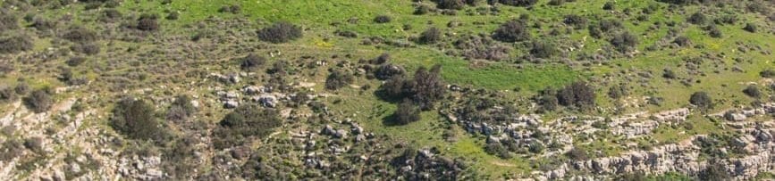
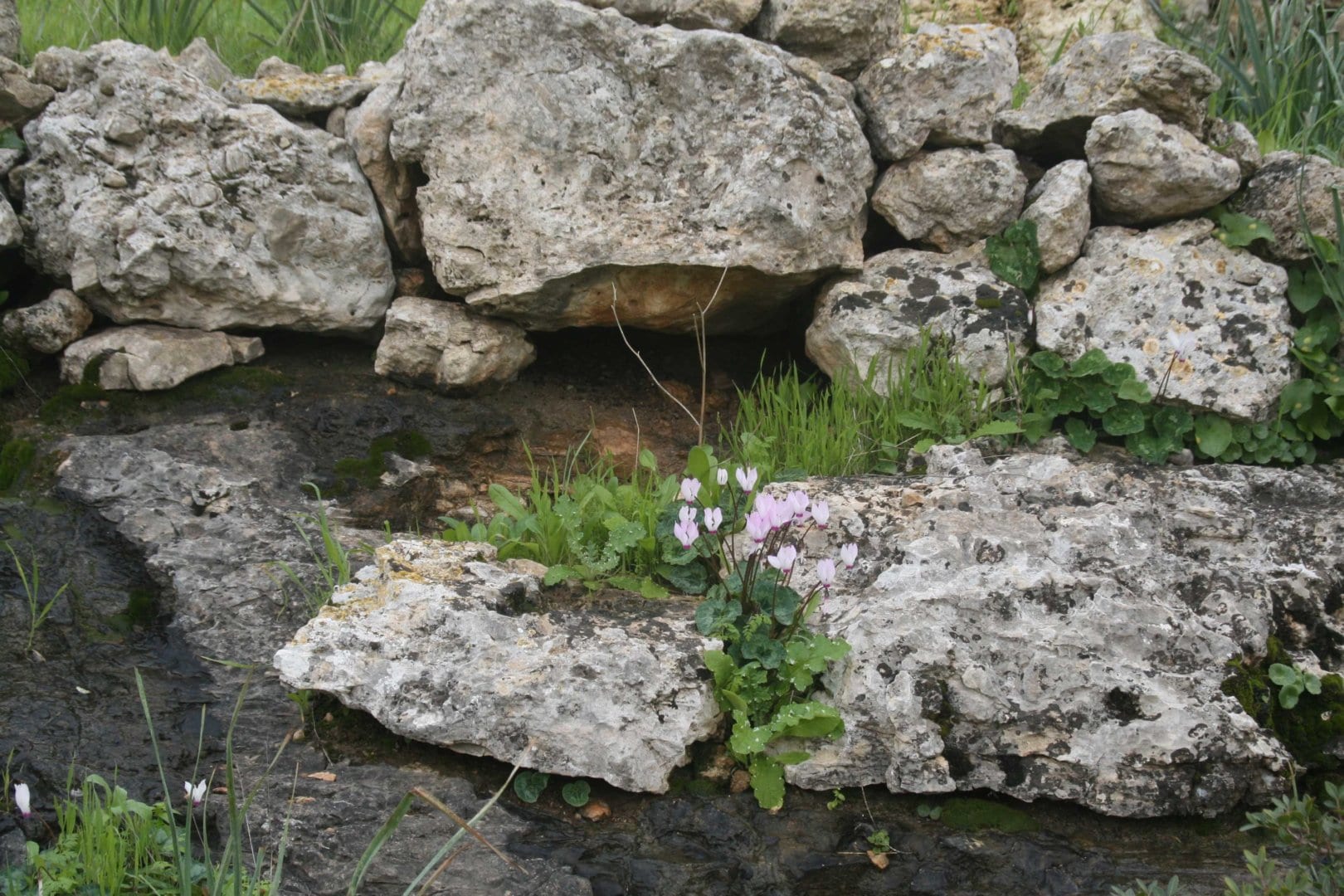
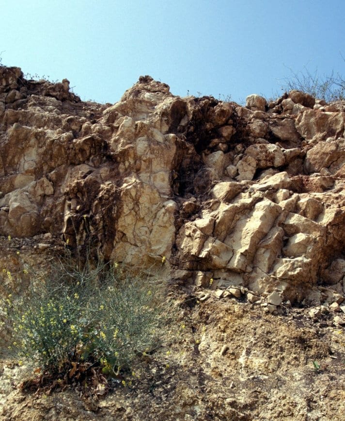
The rocks of Mount Carmel are mainly dolomites, limestones, chalk, and marls from the Albian-Turonian Judea Group.
Lateral facies changes and extensive volcanics are typical to this Carmel section.

At Ramat Hanadiv, three formations have been mapped:
“Zichron formation”: dolomite and dolomitised barrier reef
“Shefeya volcanics”: volcanic, marly tuff
“Shune formation”: dolomite, limestone

East and south of Ramat Hanadiv, the Judea Group is uncomformably overlaid by chalk and marl from the
Senonian – Eocene “Mt. Scopus” and “Avdat” Groups.
West of Ramat Hanadiv, the Judea Group dolomite and limestones are uncomformably overlaid by the Pleistocene calcitic sandstone of the “Kurkar” group.

The Southern Carmel ridge is a north-south directed anticline of which only the eastern side is exposed.


-2-aspect-ratio-x


Two main fault systems are known in the area:
• Ramat Hanadiv faults are north-south, mainly left, lateral strike slip faults, which direct structural erosion depressions.
• Binyamina-Or Akiva faults are deep buried east-west normal faults, south of Ramat Hanadiv.

Ramat Hanadiv is located near the Timsach Springs, the major karstic outlet of a regional aquifer of the Judea group. A local, seasonal spring, Ein Tzur, is located in Ramat Hanadiv and is a result of local lithology and structure. A marly tuff layer stops the fast vertical drainage of rain and irrigation water from Hanadiv Gardens. The down slope flow comes to the surface as the tuff crops out at Ein Tzur. The present morphology and topography of Ramat Hanadiv is a result of Neogene and Pleistocene lift up and different erosion processes. The western cliff and elevated Ramat Hanadiv plain are products of pleocoastal abrasion. The mild eastern slope was formed by preferred surface and channel erosion of soft chalk and marl of the “Mount Scopus” and “Avdat” groups. Karst erosion is the major recent geomorphic process.

Joseph Bar
Abstract (p. 45-46)

Of further interest...

Accessibility

Accessible Trails

We have worked hard to make our buildings, infrastructure and service accessible to special sectors of the population so that everyone can enjoy an accessible and enjoyable visit to the Memorial Gardens and Nature Park.

For further information >>

Sustainability

Establishment of the Partnership for Regional Sustainability

In 2015, Ramat Hanadiv established the Partnership for Regional Sustainability, aiming to combine forces for the quality of life in the region.

For further information >>

Dining Here

Dining-Kiosk

Refresh yourself at the Kiosk with a drink or snack. The kiosk is open daily.

For further information >>