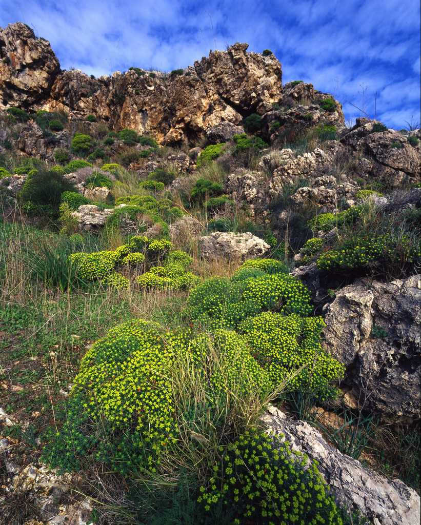
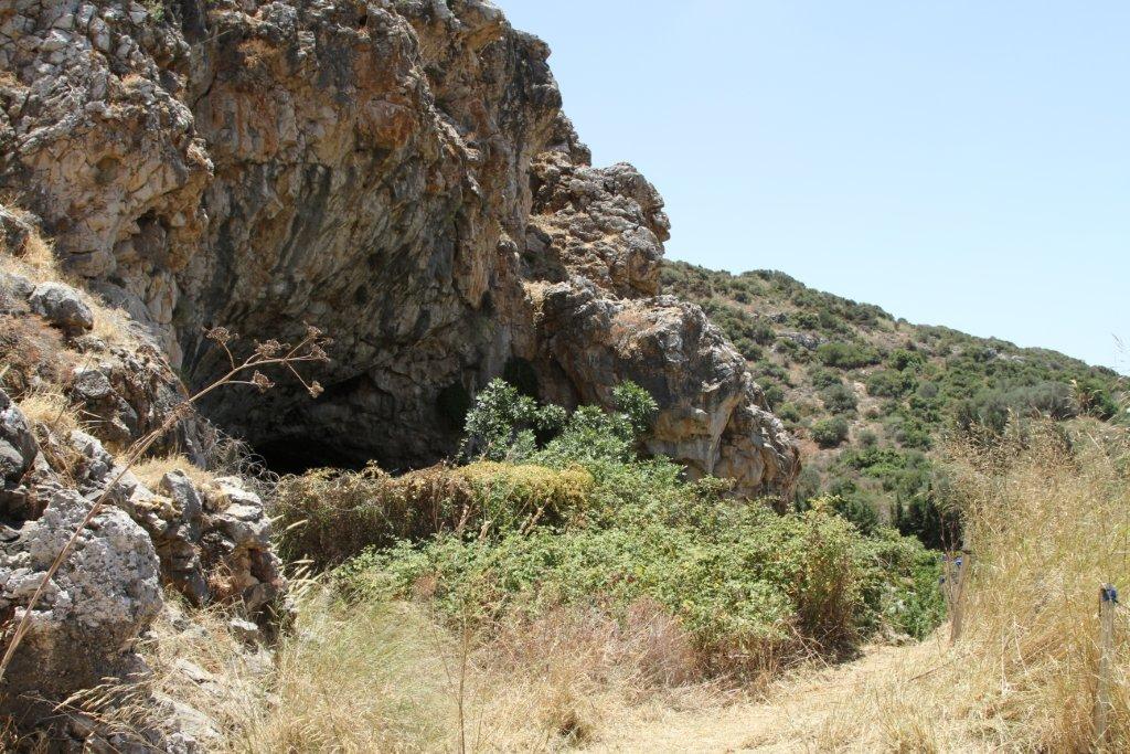
The morphology at Ramat Hanadiv near the watershed line is mature and moderate. The Memorial Gardens are situated on a plateau at 120 metres (394 ft) above sea level. The western slope is steep and cliffy, while the eastern slope is much gentler. Years of rain and melting of carbonate rocks has created a typical karstic morphology on the surface as well as sub-surface holes and caves (along the joints). All rock exposures show karstic holes along the joints.
A tuff layer and marl are exposed over a large area in Ramat Hanadiv and play an important role in the area’s landscape and vegetation. This volcanic tuff is exposed in wadis (valleys created by dry river-beds) and in morphological depressions and steps, where the topographic slope is moderate. The deepest and most developed soils of Ramat Hanadiv are found in these areas.
The faults and the tuff layers affect the streams which flow to the east. These streams become wide and deep when passing and curving along faults and in the vicinity of the tuff zone. Their edges are steep and resemble a bathtub. The easily eroded and weathered soft tuff widened the streams’ paths and caused the banks to collapse; resulting in the steep cliffs above. .
Physiographic and Landscape Units
The Ramat Hanadiv area includes internal valleys created above soft material (tuff and marl). The most significant one is a flat terrain valley in the centre of the area, giving the place its name (rama means a raised plateau).
The main landscape units in the area include:
- Hard limestone hills and slopes – moderate hills which spread over most of the area. Comprised mostly of Shuna formation limestone and covered by Terra Rosa soil, this unit is covered by a natural forest with a range of density levels.
- Western Cliff on the western border of the Carmel; comprised of mainly hard dolomite (Zikhron Formation) and calcareous sandstone at its foot.


