Soil moisture is a limiting resource that is in almost constant shortage that is interrupted or moderated for limited periods after “rain pulses”. In dry ecosystems, ecological processes are driven by limited periods of water availability, allowing for limited time biological activity (assimilation and transpiration, energy flows, carbon, and water carried out by vegetation and soil crusts, and decomposition of organic matter and release of nutrients by microorganisms and soil fauna). The characteristics of these functions depend on a complex network of relationships that exists between a variety of factors, such as timing, duration and intensity of the rain pulse, soil moisture and water reserve available in the soil (rain-runoff-infiltration relationship).
The study aims to monitor and learn how the rainfall regime affects the ground water reserves that are available for the local vegetation and shapes the relationship between soil functions and the function of local vegetation.
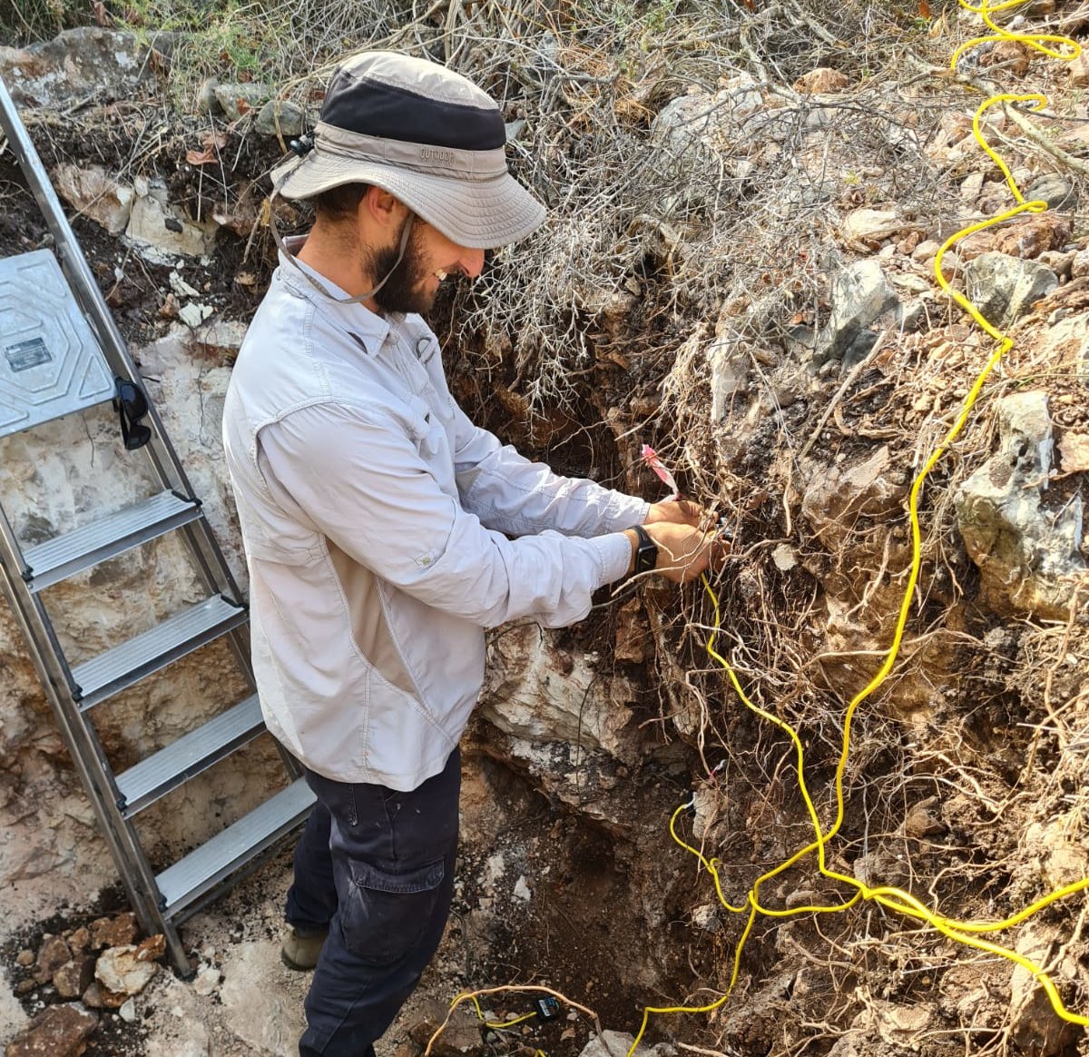
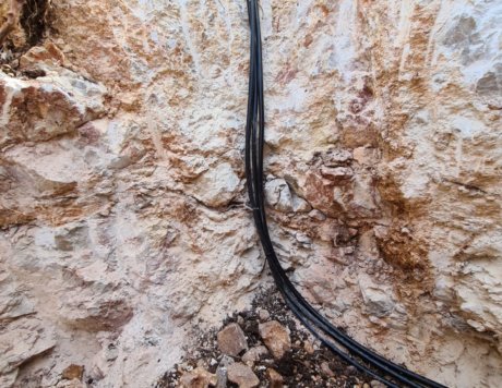
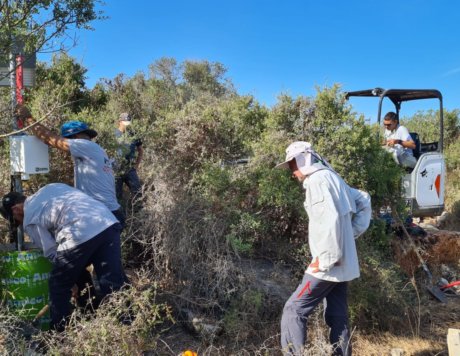
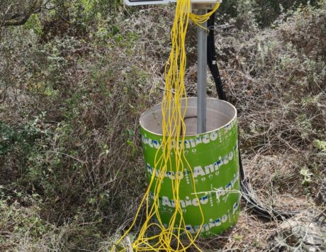
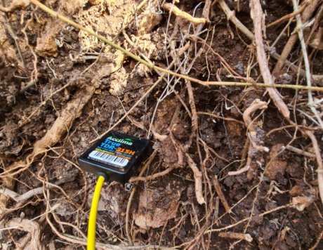
For this purpose, a new site has been established that includes a permanent set of sensors that continuously measure the water content around the roots of a typical Phillyrea latifolia garrigue. The sensors transmit long term soil moisture data to a computer using cables. The water balance is calculated by combining remote sensing data from satellites that provide information on the vegetation status once every few days, and use of the meteorological station data, which continuously measures rainfall and climatic conditions.


